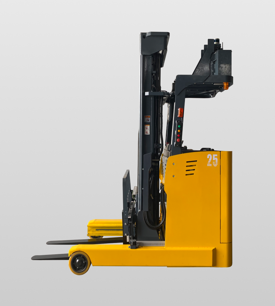
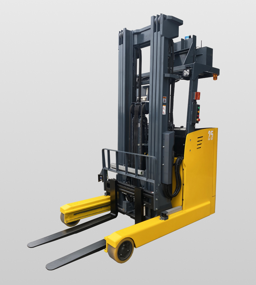
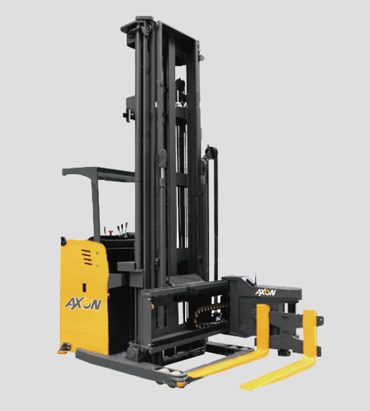
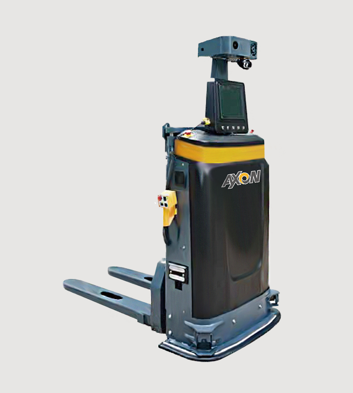
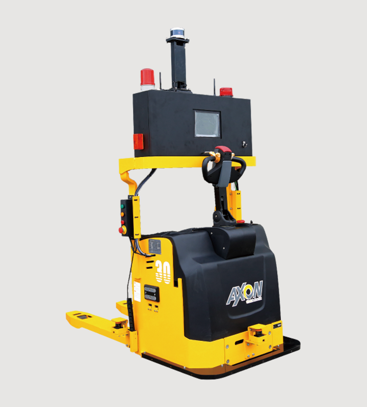
AMR自主導引堆高機
Autonomous Mobile Robot
優越性能
Superior Performance
AMR自主導引堆高機與傳統磁條式自動導航功能相比,AMR更具便利性,無須改造現有廠房地形,透過3D LiDAR,可因應廠房複雜地形,搭配SLAM演算技術,可定位路徑及自動重新規畫路徑,在完全無人狀態下完成運搬任務且具備自動避障、重新規劃路徑功能。
操作數值
Operational Metrics
設備荷重:0 kg~3,000kg
Equipment load:0 kg~3,000kg
揚升高度:6,000mm
Ascension height:6,000mm
貨叉前移距離:570mm~925mm
Distance of forward movement of forks:570mm~925mm
產品優勢
ADVANTAGE
ADVANTAGE
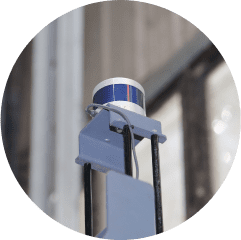
3D LiDAR
透過360度 3D LiDAR可針對廠房內地形判斷行駛路徑,在不改變廠房環境的情況下,執行貨物搬運作業。相較過去磁條式導航,初期可節省70%建置時間。
3D LiDAR
The 360-degree 3D LiDAR can determine the driving path based on existing terrain in the factory without having to adapt the factory environment to enable cargo handling operations. Compared to the previous magnetic strip navigation, it can reduce up to 70% of the construction time in the initial stages alone.

SLAM地圖建構
可同時執行定位及地圖建構,讓行駛路徑辨識更加快速,在行駛過程中,可自行觀測地圖特徵,針對廠房地圖進行擴增,使搬運任務產生錯誤率降低92%。
The SLAM Map system
The SLAM Map system can perform both localization and map construction simultaneously, allowing for faster path recognition. During operation, it can observe map features and augment them to improve accuracy, resulting in up to 92% reduction in error rates for transportation tasks.
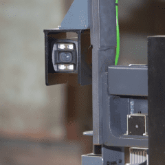
TOF camera棧板偵測器
以往貨物運搬過程中,若要搬運多款棧板需透過手動調整貨叉,藉由「視覺偵測器」可自行辨識棧板搬運位置,且精準度可達100%,減少來回量測與視覺差所導致的誤差。
TOF camera pallet detector
In the past, when transporting multiple pallets, manual adjustment of the fork position was necessary. With the ""visual detector"" using TOF camera, the position of the pallets can be recognized automatically with accuracy, reducing the measurement errors caused by repeated measurements and visual differences.
使用場景
SCENES
SCENES

